Keynotes
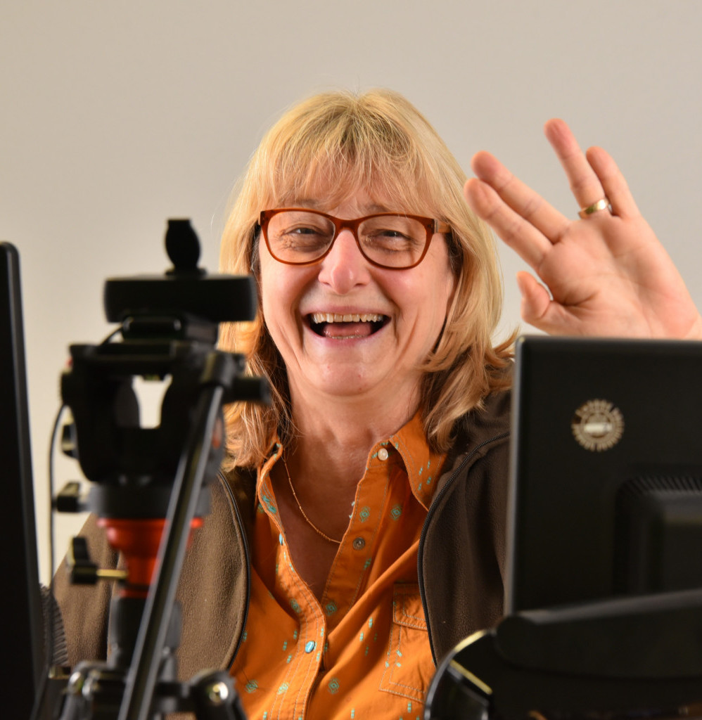
Prof. Dr. Christiane Schmullius
Zeitreihen für Forschung und Lehre – Beispiele des raum-zeitlichen Monitorings mit Sentinel-1 und -2 in Südafrika
Dienstag, 03.06.2025 | 14:00 – 14:45 Uhr | Aula
 | Professorin für Fernerkundung, Institut für Geografie, Friedrich-Schiller-University Jena Home Page : https://www.chemgeo.uni-jena.de/29590/schmullius |
Since 25 years, Prof. Christiane Schmullius chairs the Department for Earth Observation at the Friedrich-Schiller-University Jena in Germany. She received her MSc as a Fulbright student at the University of California at Santa Barbara, followed by her PhD at the Institute of Space Sciences, Free University Berlin, focussing on radar remote sensing of crops. From 1991-2000, she headed the Geomatics-group at the Institute for Radio Frequency Technology, German Aerospace Center (DLR), and was Science Team Lead for the two NASA-DLR-ASI SIR-C/X-SAR radar shuttle missions in 1994 and DLR’s project scientist for the Shuttle Radar Topography Mission (SRTM) in February 2000. Her research focuses on terrestrial surfaces ranging from operational vegetation mapping (forest biomass and agriculture), land cover to soil moisture monitoring and application of operational and experimental Earth observation sensors in the optical and microwave domains. Prof. Schmullius developed a comprehensive remote sensing curricula for BSc students and a joint MSc degree in Geoinformatics and Remote Sensing. In 2010, she received the German Federal Cross of Merit (Bundesverdienstkreuz 1. Klasse) for achievements in Earth observation education. Prof. Schmullius has been coordinating large international forest biomass projects, lately with a focus on savanna monitoring. She was a member of ESF’s European Space Science Council, ESA’s Earth Science Advisory Committee, European FP7 Space Advisory Group, DLR’s Senate and the German Future Earth Committee. In 2018, she was Program Chair for the International Astronautical Congress in Bremen. She has co-authored over 600 peer-reviewed articles and has written four book chapters. Prof. Schmullius has supervised over 90 Master theses, 38 dissertations and six habilitations.
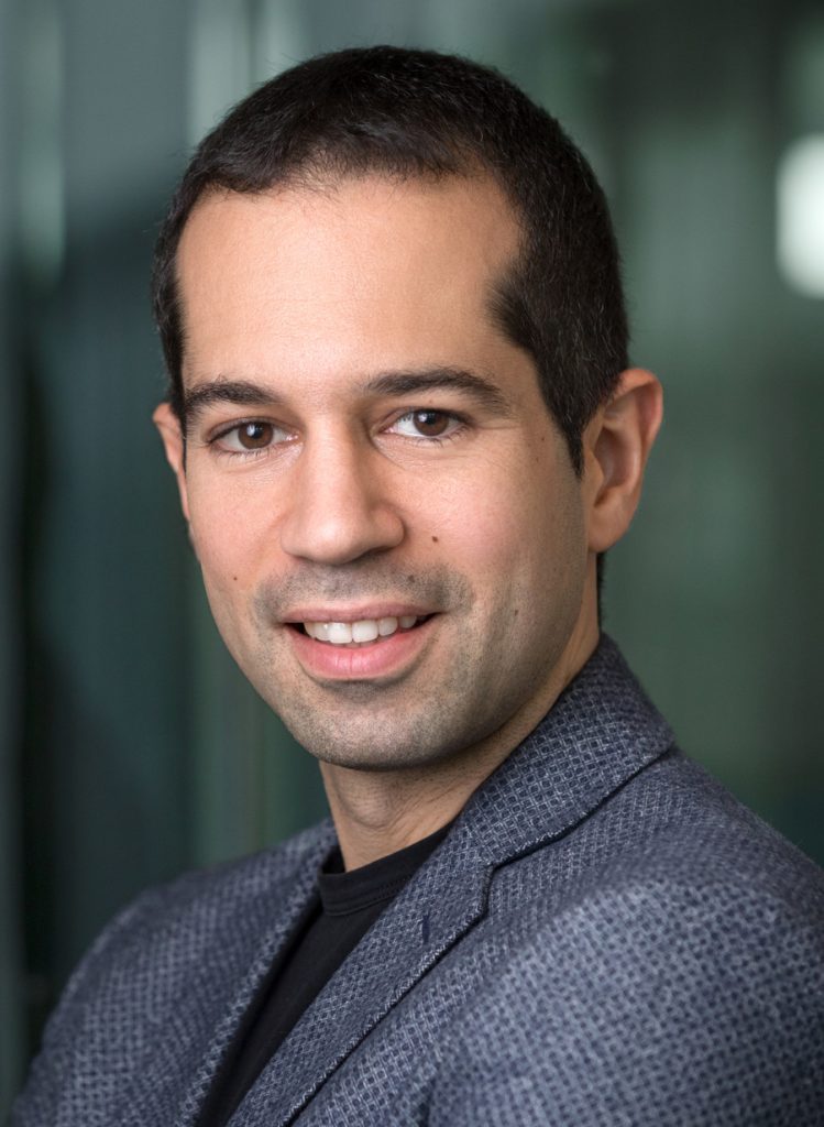
Prof. Dr. Davida Scaramuzza
Autonomous Vision-based Drones: from Frames to Event Cameras
Mittwoch, 04.06.2025 | 08:45 – 9:30 | Aula
 | Professor and Director of the Robotics and Perception Group, University of Zurich Home Page: https://rpg.ifi.uzh.ch/people_scaramuzza.html |
Davide Scaramuzza is a Professor of Robotics and Perception at the University of Zurich. He did his Ph.D. at ETH Zurich, a postdoc at the University of Pennsylvania, and was a visiting professor at Stanford University. His research focuses on autonomous, agile microdrone navigation using standard and event-based cameras. He pioneered autonomous, vision-based navigation of drones, which inspired the navigation algorithm of the NASA Mars helicopter and many drone companies. He contributed significantly to visual-inertial state estimation, vision-based agile navigation of microdrones, and low-latency, robust perception with event cameras, which were transferred to many products, from drones to automobiles, cameras, AR/VR headsets, and mobile devices. In 2022, his team demonstrated that an AI-powered drone could outperform the world champions of drone racing, a result published in Nature and considered the first time an AI defeated a human in the physical world. He is a consultant for the United Nations on disaster response and disarmament. He has won many awards, including an IEEE Technical Field Award, the levation to IEEE Fellow, the IEEE Robotics and Automation Society Early Career Award, a European Research Council Consolidator Grant, a Google Research Award, two NASA TechBrief Awards, and many paper awards. In 2015, he co-founded Zurich-Eye, today Meta Zurich, which developed the world-leading virtual-reality headset Meta Quest. In 2020, he co-founded SUIND, which builds autonomous drones for precision agriculture. Many aspects of his research have been featured in the media, such as The New York Times, The Economist, and Forbes.
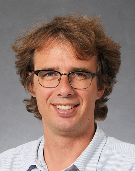
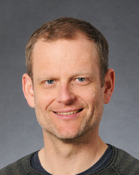
Dr. David Oesch & Dipl. phil. nat. Mathias Zesiger
Von oben Naturgefahren meistern: Rapid Mapping und Trockenheitsmonitoring
Donnerstag, 05.06.2025 | 08:30 – 9:30 | Aula
 | David Oesch Co-Leiter Kriseninformation und NPOC, Bundesamt für Landestopografie swisstopo Home Page: www.rapidmapping.admin.ch www.npoc.ch |
 | Mathias Zesiger Co-Leiter Kriseninformation und NPOC, Bundesamt für Landestopografie swisstopo Home Page: www.rapidmapping.admin.ch www.npoc.ch |
Dr. David Oesch ist Co-Projektleiter «Erdbeobachtungs-SAtellitendaten fürs TRockenheitsMOnitoring» (SATROMO), Co-Teilprozessleiter Kriseninformation und National Point of contact NPOC, Bundesamt für Landestopografie swisstopo. Er entwickelt operationelle Satellitenprodukte für Umweltmonitoring. Zuvor war er Projektleiter für geo.admin.ch und Service Delivery Manager bei Syngenta. Seine Schwerpunkte liegen in der Geodatenanalyse, Modellierung und Strategieentwicklung für Geodateninfrastrukturen. Er engagiert sich für die effiziente Nutzung von Geodaten der Verwaltung für Wissenschaft und die Öffentlichkeit.
Mathias Zesiger ist Co-Leiter des Teilprozesses Kriseninformation (Rapid Mapping) und NPOC (National Point of Contact for Satellite Images) beim Bundesamt für Landestopografie swisstopo. Er hat sein Studium der Geografie an der Universität Bern 2002 mit den Schwerpunkten Photogrammetrie / Fernerkundung, Geomorphologie und Naturgefahren abgeschlossen. Seither haben ihn die Thematiken Photogrammetrie und Rapid Mapping während seiner gesamten beruflichen Laufbahn sowohl in privaten Firmen im In- und Ausland als auch in der Bundesverwaltung beschäftigt.