Wind measurement system with a drone
To measure the wind strength at potential locations for wind turbines, students have developed an ingenious measurement drone.
Before wind turbines are installed, suitable locations need to be found. In order to assess the economic benefits, wind measurements are taken. At present, such wind measurements can be carried out in two ways. The first method is a high met mast equipped with a range of wind sensors. The second method involves a "LIDAR measurement system" that measures wind speeds using the Laser Doppler Effect. Both methods are very expensive.
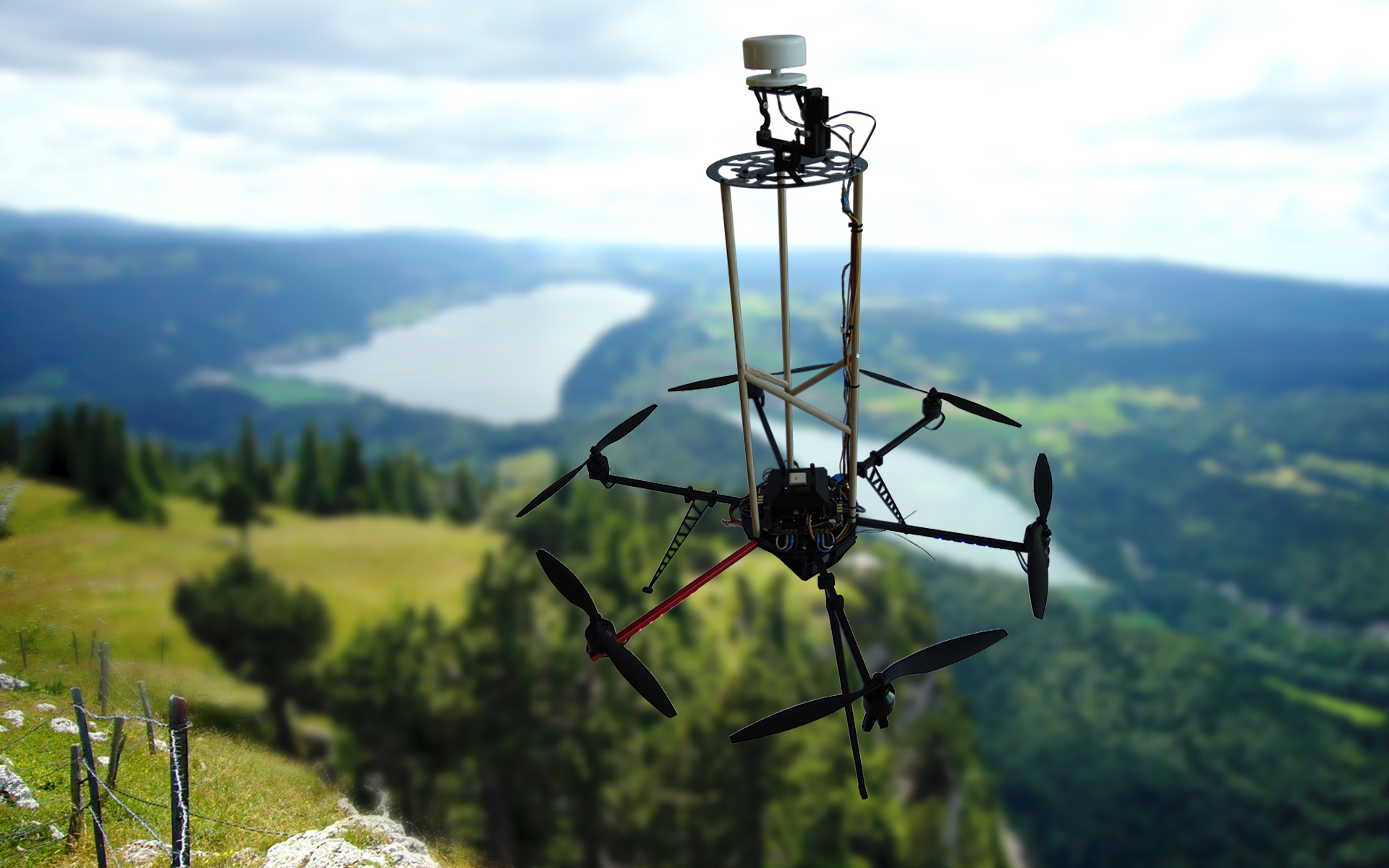
A cheaper, more flexible method is provided by the measurement system we developed that incorporates a drone. The remote-controlled hexacopter is equipped with a wind sensor and can ascend to any point in the air. During the flight, wind speed and wind direction are measured at various altitudes and saved together with the control parameters of the hexacopter. During the measurement process, the model aircraft hovers on the spot using GPS data.
Project information
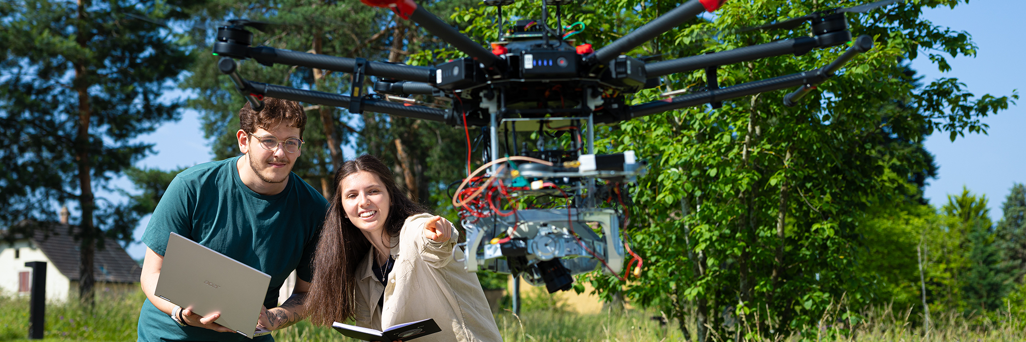
- Implementation: Michael Saner and Eric Zimmermann
- BSc Electrical and Information Technology degree programme
- Supervision: Professor Dr. Heinz Burtscher and Klaus Eisele