Master of Science in Engineering MSE, Profile Geomatics
"Study Geomatics - The Space is Yours"
Key data
- Degree
- Master of Science FHNW in Engineering, Profile Geomatics
- Studying type
- Master
- ECTS points
- 90
- Study start
- W8 und W38
- Studying mode
- full-time and part-time
- Duration
- 3 Semester (full-time), 90 ECTS
- Teaching language
- English
- Place
- Muttenz/Basel and Zurich
- Application fee
- CHF 200
- Semester fee
- Residence in Switzerland at start of studies: CHF 750, Residenz in EU/EFTA at start of studies: CHF 1000
The eight Universities of Applied Sciences in Switzerland are offering the practically oriented MSE master’s programme. In this course of study, you can benefit from a diverse range of courses structured in 16 profiles, which offer great scope for personal choice and have a network of specialists and students all across Switzerland.
With the MSE profile in Geomatics, you will be able to secure your place in the future-oriented and multi-faceted geospatial industry. You will specialise in selected aspects of geomatics such as surveying, visualising and processing geodata and you will become a specialist in Spatial Big Data Science, Geographic Information Science, GIS, GPS or Cartography.
Customise your course of study
The central element of the course of study is the individual specialization in your profile. You will study this specialization with theoretical and practical work at an institute of the FHNW School of Architecture, Civil Engineering and Geomatics. You will be accompanied and supervised throughout the course of the study by a personal advisor. Thus, you acquire a set of unique skills at a high level within the framework of selected theory modules as well as practical research and development projects.
The modular course structure of the MSE in Geomatics allows part-time or full-time studies. You gain and deepen the required knowledge and skills in specialist theory modules, context modules and applied research projects.
The MSE in Geomatics comprises a total of 90 ECTS credit points. When studying full-time the Master’s course can be completed in three semesters. When studying part-time the completion of the degree takes longer proportionally to the selected part-time study mode.
The course consists of different types of modules: Technical scientific specialization (TSM) modules, Fundamental theoretical principles (FTP) modules, Context (CM) modules, as well as specialisation modules (GEO) and specialisation research projects:
The TSM, FTP and CM modules comprise 30 ECTS credit points (3 ECTS per module) and are offered in collaboration with the other Swiss Universities of Applied Sciences. These modules are taught in Zürich. More than 100 modules are offered, we recommend these modules for the geomatics profile.
Here you find more information on the programme structure
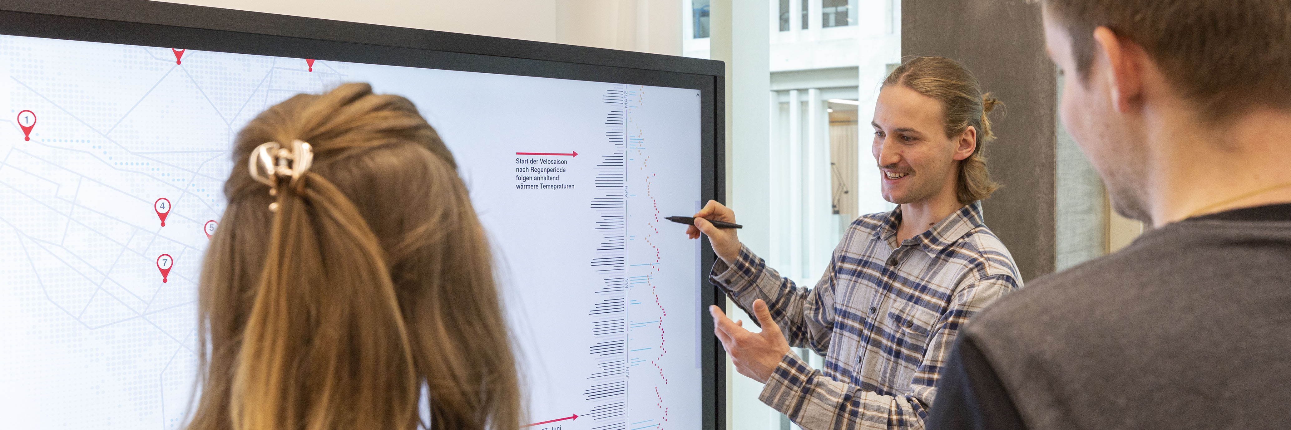
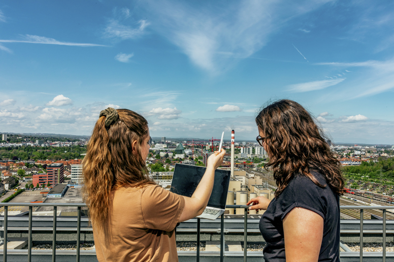
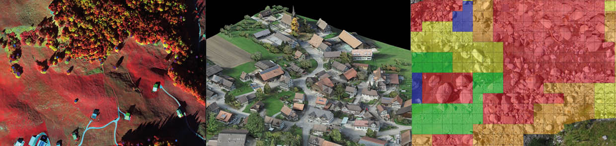
The MSE in Geomatics provides an education based on science and is oriented towards applications and challenges. Key elements in achieving this focus are the two applied research projects (20% of the study time) and the Master Thesis (one third of the study time) that each student completes during the course of the MSE in Geomatics. The project topics are diverse and often interdisciplinary. The projects may consist of applied research questions from areas such as Navigation, Remote Sensing, Geographic Information Systems (GIS), Spatial Analysis and Location-based Services, Mapping, Drones/UAVs, Sensors and Measurement Technologies, Environment Monitoring, Sustainable Planning, Laser Scanning and Building Information Modelling (BIM), Archaeology or Augmented Reality.
The MSE projects are offered in relation to ongoing applied research projects at the FHNW Institute of Geomatics and/or with partners from industry and government. This ensure topicality and provides opportunities to expand the student’s professional networks
Module Specialization Project 1 (PDF)
Module Specialization Project 2 (PDF)
Module GEO Master Thesis (PDF)
Personal advisors plan your studies with you according to your personal study goals. The advisors are available throughout your studies to discuss any issues. Thus, you benefit individually from the specialist knowledge of the research and teaching staff of the Institute of Geomatics at FHNW Fachhochschule Nordwestschweiz to achieve your professional aims.
You are interested in Geomatics and you are looking forward to engage in depth with spatial phenomena, processes and applications. To do so you are motivated to engage with spatial data collection, data modelling, data processing and analysis as well as data and information visualization employing state-of-the-art methods and technologies. Additionally, you have a good Bachelor’s degree in Geomatics, Informatics, Geography, Cartography, Environmental Sciences, or a related discipline, or you have a comparable different background.
Please contact us to discuss your options – mse.habg@fhnw.ch
Graduates of Master of Science FHNW in Engineering - Profile Geomatics are in high demand for responsible positions in private companies or public institutions in the multifaceted and growing business area of Geomatics and related sectors. Jobs are open in areas such as Energy Infrastructures, Agribusiness, Cadastral Surveying, Geographic Information Systems (GIS), Archaeology, Environment, Monitoring, Logistics, Planning, Cultural Heritage, Safety or Research.
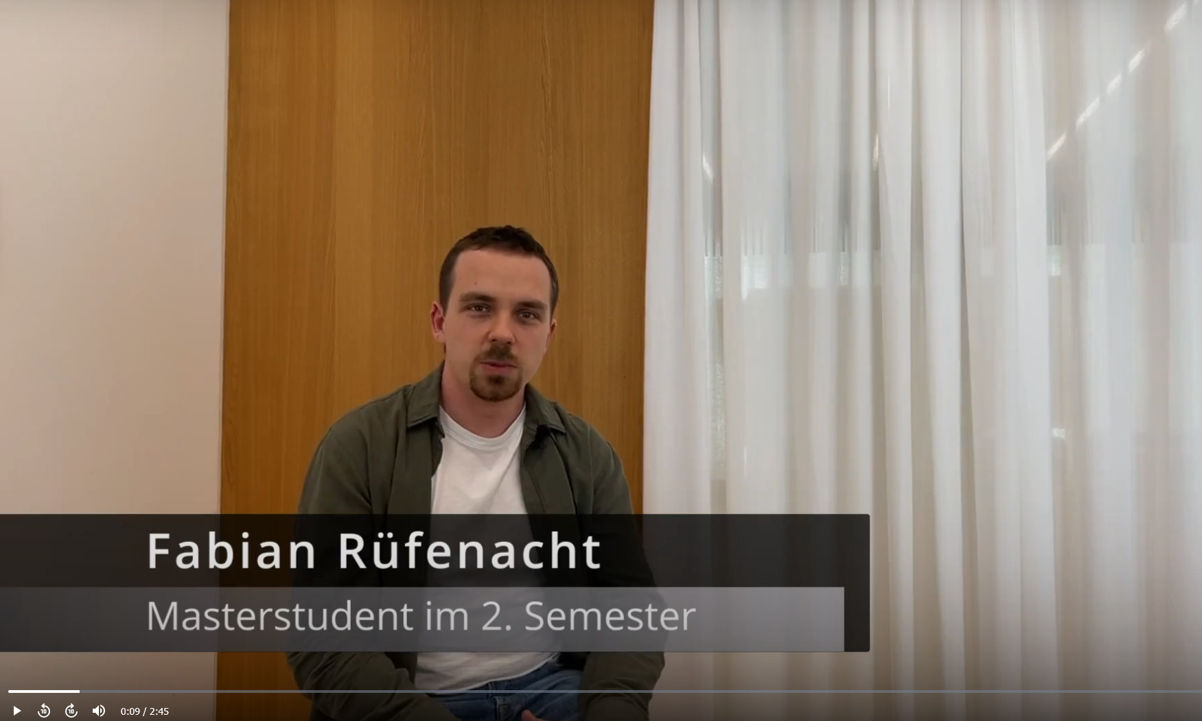
What our students say about this course of study (in German)
Several testimonials of former Master students
This video was created in the Communication module of the Bachelor's degree programme.
On the following page you will find the posters and movies of the Master Theses of the last years.